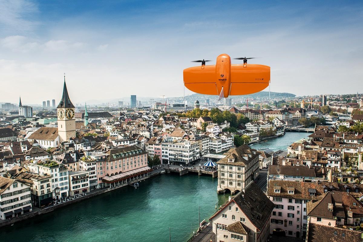
Wingtra, a spinoff from the Swiss Federal Institute of Technology Zurich (ETH), creates special drones for aerial photographs and remote sensing. The company combines the positive characteristics of multirotors and fixed wing aircraft to do so. The Wingtra drones start and land vertically like a helicopter. However, they also fly forwards efficiently like a plane. Thanks to their high load capacity, the drones can also carry a wide range of cameras.
Wingtra just recently brought the WingtraOne GEN II to market. These drones enable a new diagonal camera configuration for high-quality 3D drone mappings. In order to try out this development immediately, Wingtra used it to create a digital twin of the city of Zurich.
According to a press release, the drone only took six flight hours to create its 3D map of the city of Zurich. One pixel in the 3D model corresponds to 3 centimeters of information from the real world. This means that it presents “a completely new level of detail”.
According to Maximilian Boosfeld, Co-Founder and CEO of Wingtra, the new drone is “the perfect choice for capturing infrastructure—from a single industrial plant to full-scale cities”. The company further states that detailed 3D data can help municipal authorities, city planners, engineers, and architects to increase the quality of life in urban areas, plan critical infrastructures, and simulate changes to the environment.
Related news
Contact us
Can we put you in touch with a peer company or research institute? Do you need any information regarding your strategic expansion to Switzerland's technology and business center?
info@greaterzuricharea.com